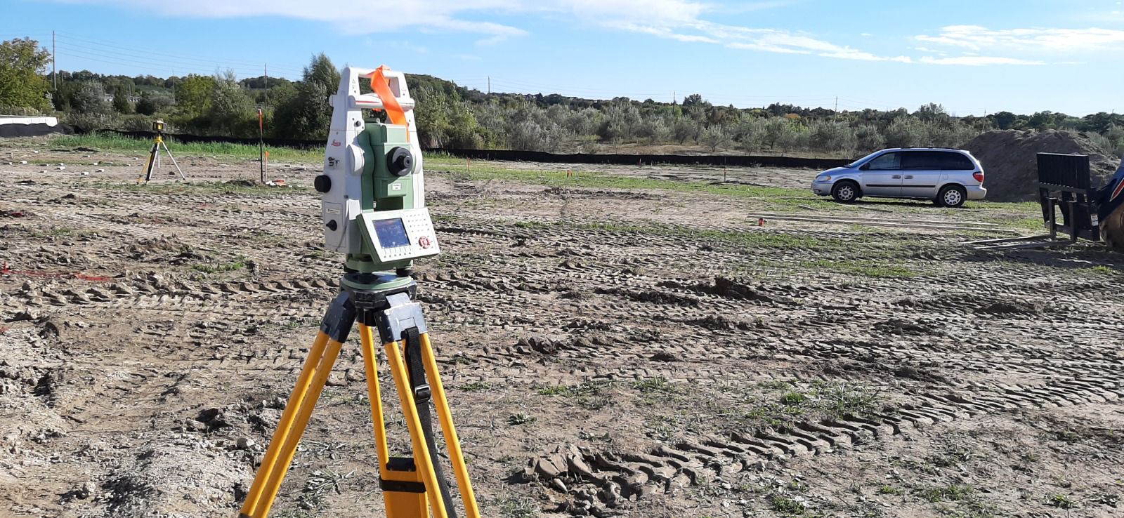
Topographical Survey
Boundaries, existing features, and grade elevations mapped in detail — the accurate base your design starts from.
More details coming soon
Boundaries, existing features, and grade elevations mapped in detail — the accurate base your design starts from.
More details coming soon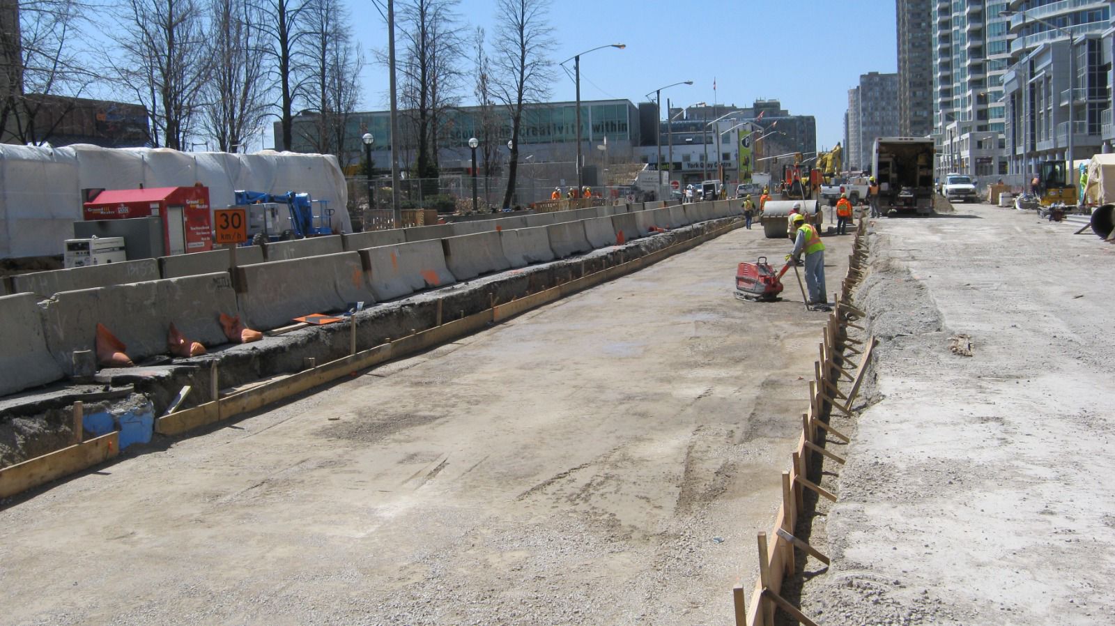
Documents the final position and elevation of completed construction against the approved plans — verifying compliance and supporting municipal acceptance and permanent project records.
More details coming soon
Title surveys prepared to ALTA/NSPS standards for lenders, title insurers, and commercial transactions.
More details coming soon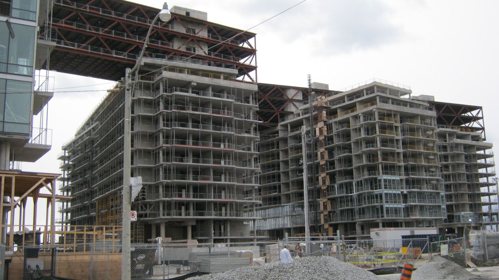
We provide lot grading plans and grading certificates for residential and commercial projects, ensuring proposed and completed site grades meet project requirements and applicable municipal standards.
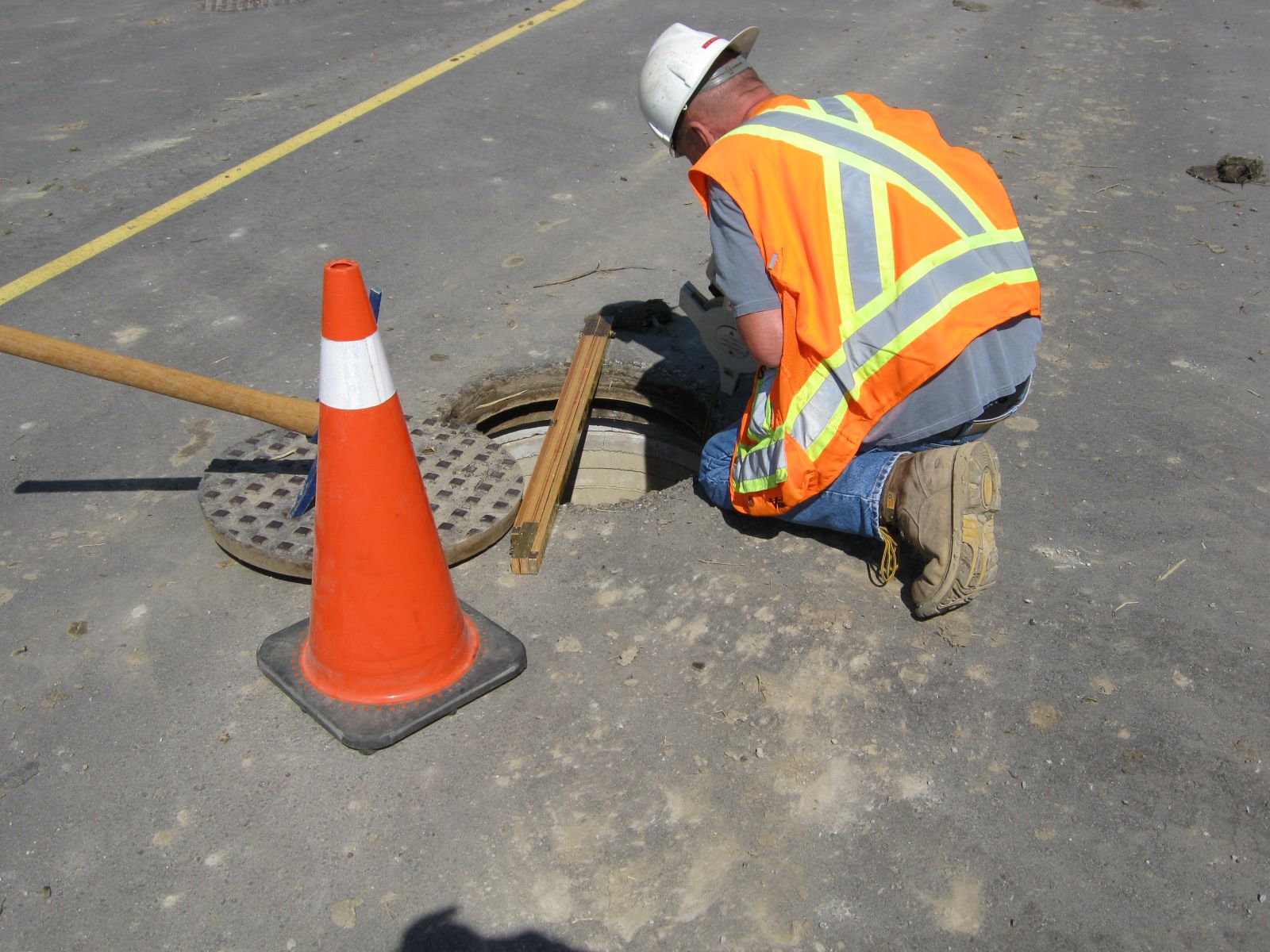
Water, sanitary, and storm connection design for site plan and permit approvals.
More details coming soon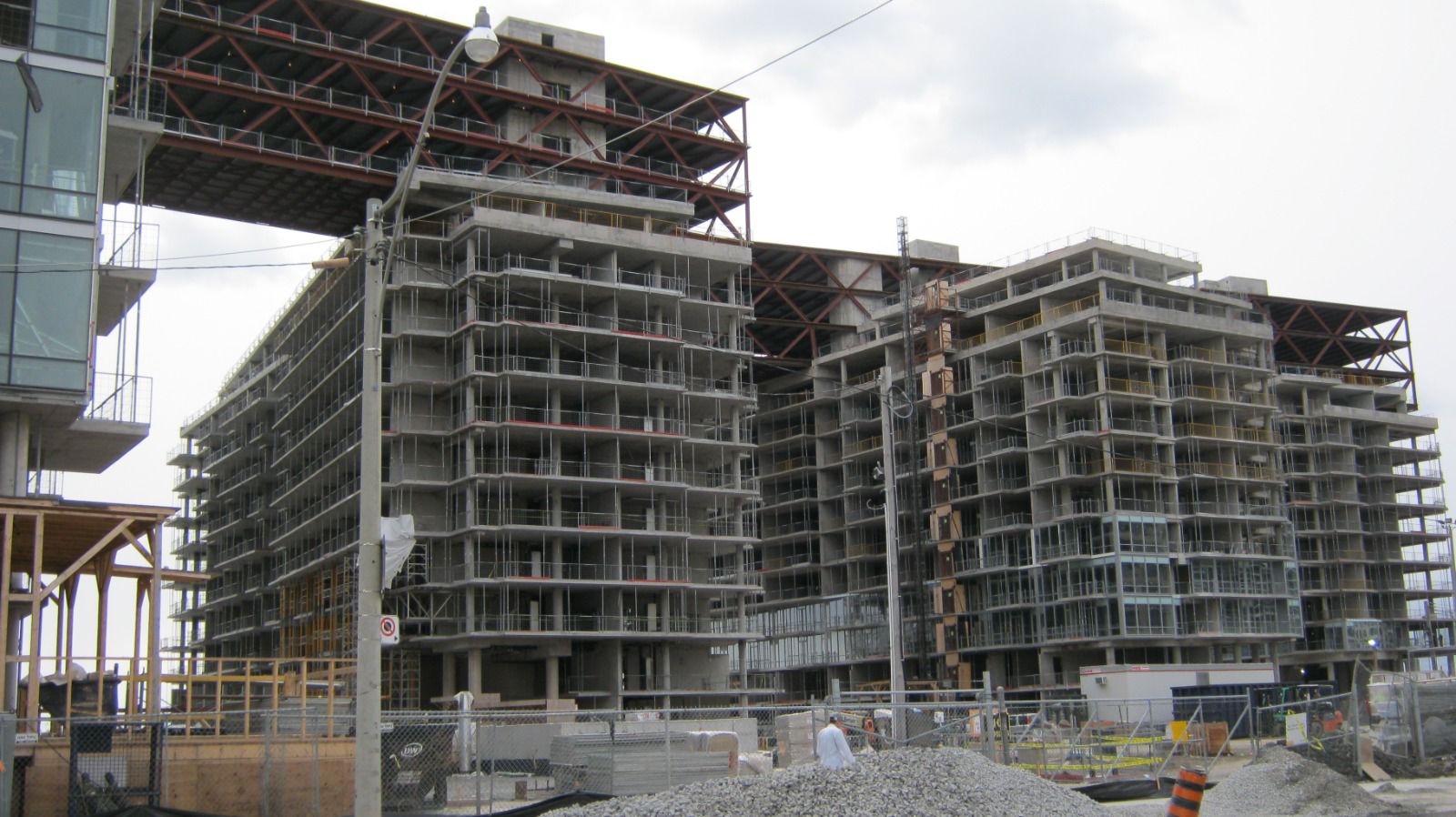
We prepare finish grade, subgrade, and granular surface models for dozer and grader machine control, along with 3D road alignments for concrete pavers and other paving equipment.
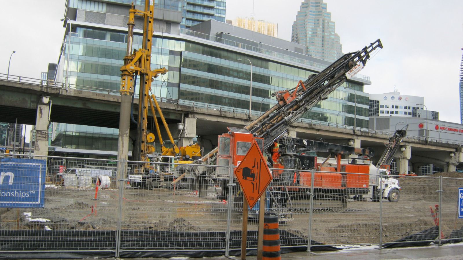
Cut, fill, and stockpile quantities determined with current 3D survey methods for accurate results.
More details coming soon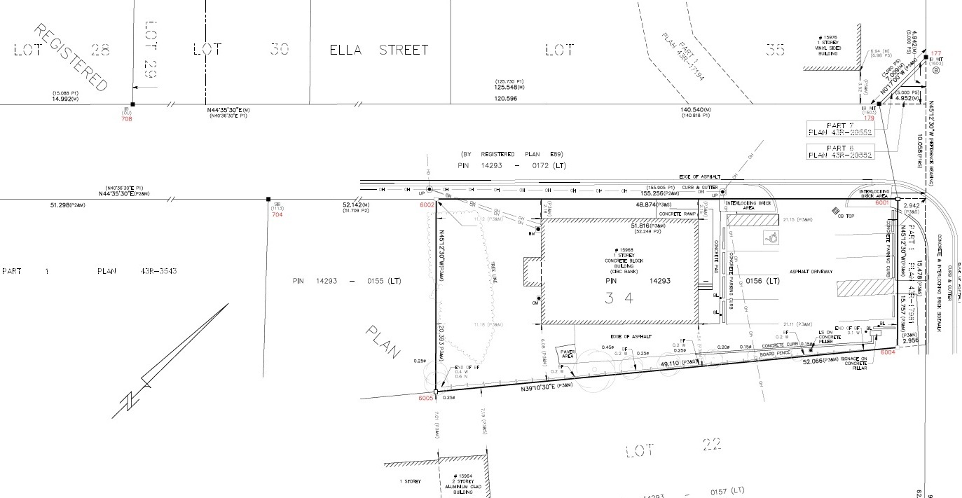
Legal plans and reports for real estate transactions, severances, easements, and condominium registration.
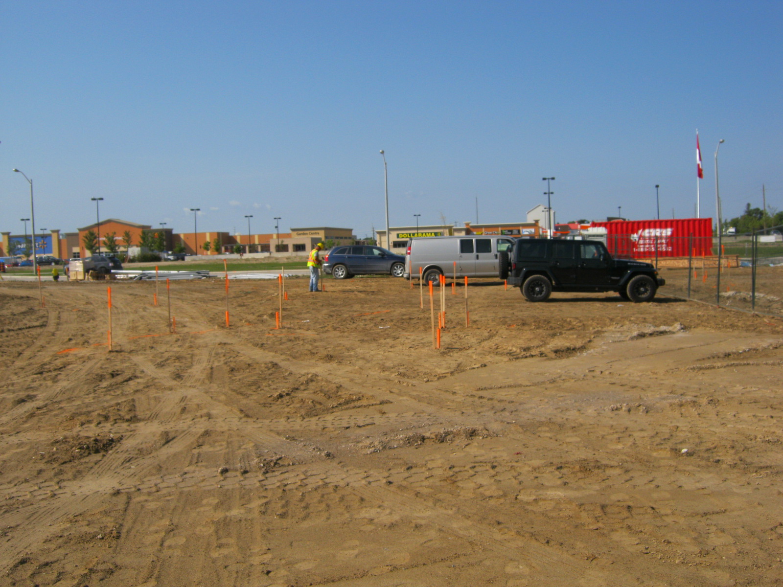
We provide precise construction layout — our experienced team ensures accurate measurements and reliable on-site layout to keep your project on track. Services include:
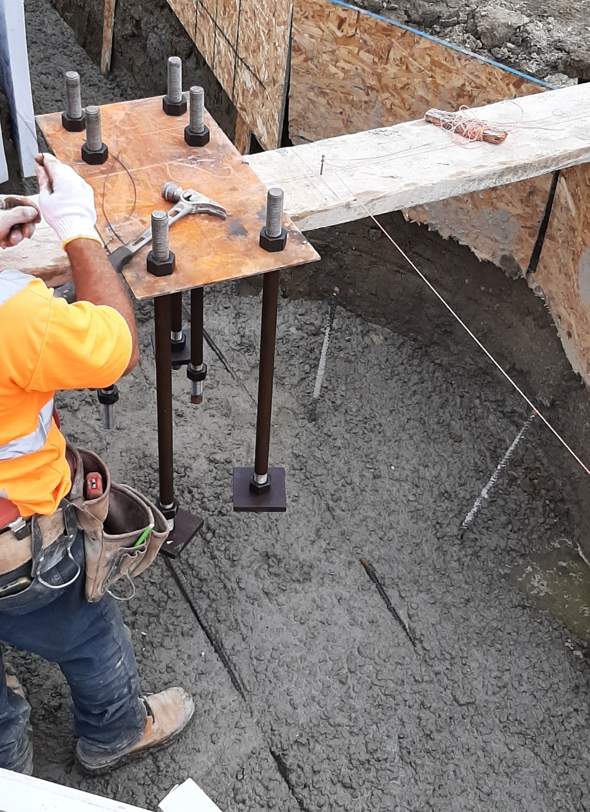
Specialized structural layout — excavation control, footings, and anchor bolts set to construction tolerances.
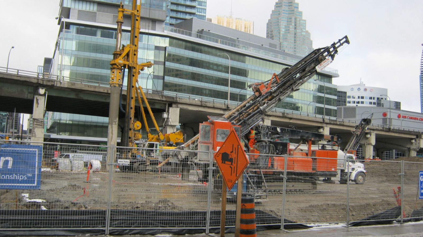
Structural and geotechnical monitoring to track movement, deformation, settlement, and changes over time — helping identify potential issues early and support construction and safety decisions.
More details coming soon
High-accuracy capture and modeling of sites and structures using current geomatics technology.
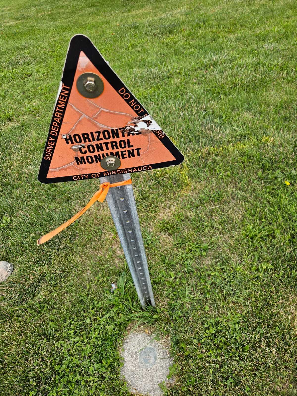
Establishing and maintaining accurate horizontal and vertical control for surveying, construction, and related projects.
More details coming soon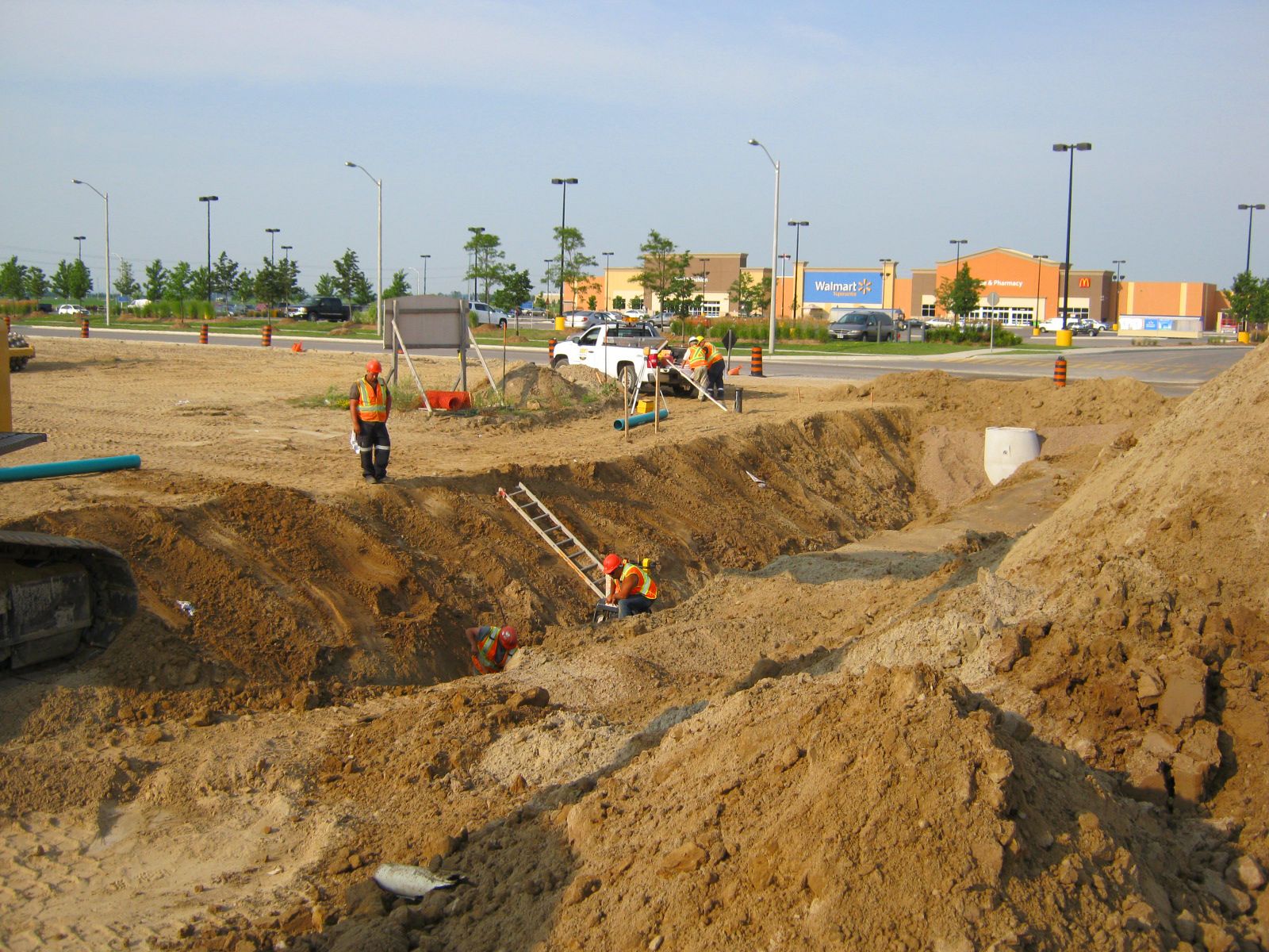
We locate and mark buried utilities using electromagnetic and ground penetrating radar (GPR) technology — covering the private services public locates leave unmarked, so excavation stays safe and on schedule.
Send us the property details and what you are trying to do — we will confirm what is required.
Request a Quote